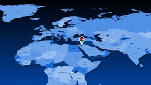
Animated World Map Highlight of Jordan with Major Cities
By candy_animationOne great value subscription from €14.50/month
- Unlimited downloads of 27+ million creative assets
- AI Tools: video, image and more
- Lifetime commercial license
- Easy cancellation
Already have an account? Sign in
Attributes
- Length
- 0:23
- Resolution
- 3840 x 2160
- File Size
- 127 MB
- Frame Rate
- 30 fps
- Alpha Channel
- No
- Looped
- No
- Video Encoding
- H.264
- Orientation
- Horizontal
- Commercial License
- Further Information
Description
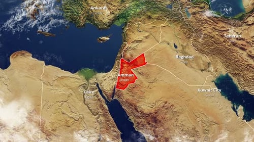
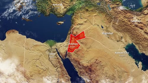
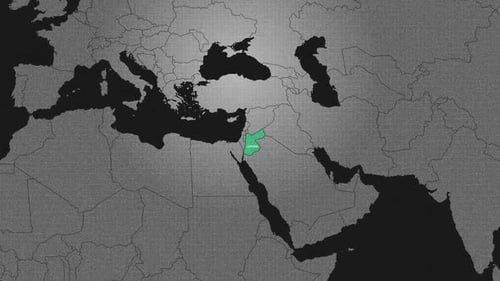
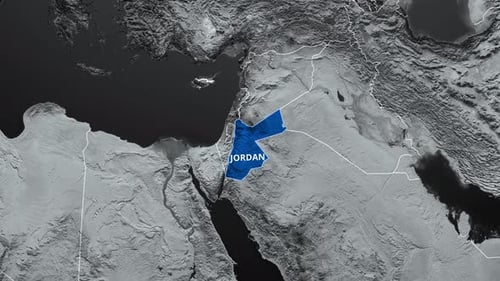
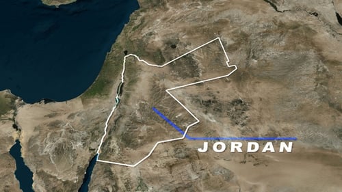
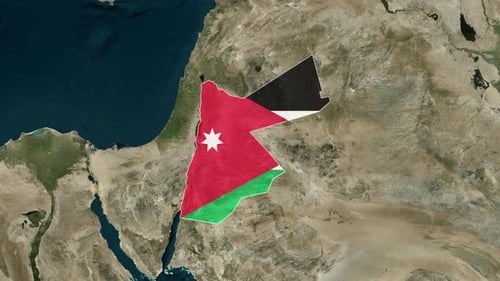
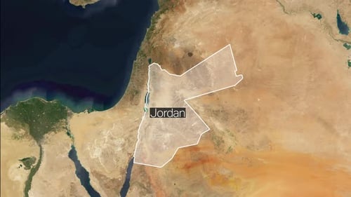
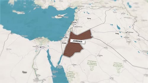
This animated geographical presentation features a detailed world map that smoothly zooms into the Middle East region. The animation specifically highlights Jordan in a vibrant red, outlining its borders and bringing the country into sharp focus. As Jordan is identified, key neighboring cities and countries such as Amman, Cairo, Ankara, Baghdad, Teheran, and Kuwait City are revealed with clear text labels. The visual style is clean and informative, using a realistic satellite texture for the terrain and oceans, complemented by crisp, easy-to-read typography. The transition is fluid and professional, enhancing comprehension of the geopolitical landscape. This clip effectively visualizes location data and regional relationships.