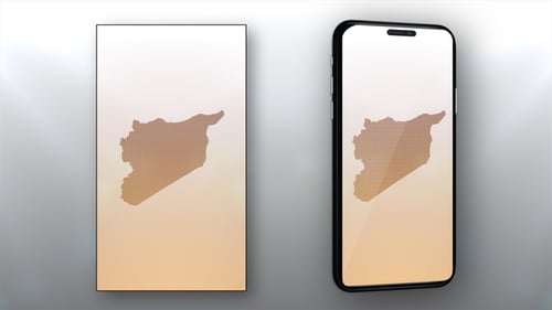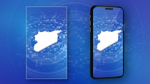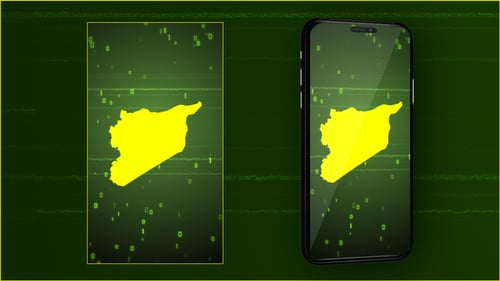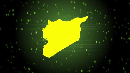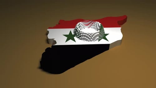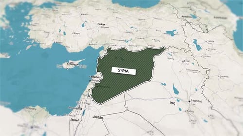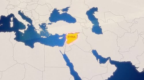
Geometric Pixel Syria Map Reveal Animation
By StrokeVorkzOne great value subscription from €14.50/month
- Unlimited downloads of 27+ million creative assets
- AI Tools: video, image and more
- Lifetime commercial license
- Easy cancellation
Already have an account? Sign in
Attributes
- Length
- 0:15
- Resolution
- 3840 x 2160
- File Size
- 283 MB
- Frame Rate
- 29.97 fps
- Alpha Channel
- No
- Looped
- No
- Video Encoding
- H.264
- Orientation
- Horizontal
- Commercial License
- Further Information
Description
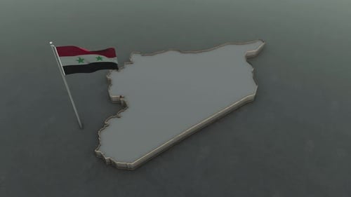
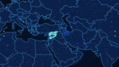
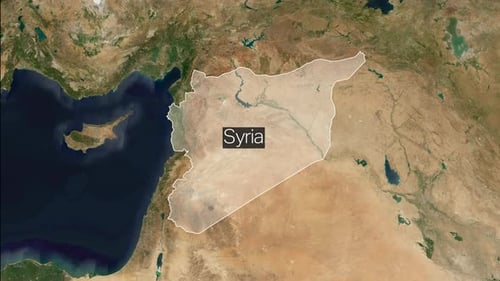
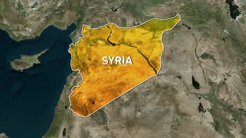
This animated clip presents a dynamic reveal of the Syria map. The map is intricately composed of numerous small, glowing pixel-like squares, creating a sophisticated grid effect. A bright, warm light emanates from within the map, gradually expanding to illuminate the entire country silhouette. The animation begins with abstract, vertical panels of these pixel grids moving into frame, which then transform and coalesce to form the distinct geographical outline of Syria. As the light intensifies, the map pulsates with a subtle energy before fading slightly to reveal the complete, detailed outline. This visual effect is ideal for news broadcasts, documentary segments, or corporate presentations requiring a sleek and modern representation of geographical data. It adds a professional and visually engaging element to any project focusing on geopolitical topics, country-specific information, or digital map displays.