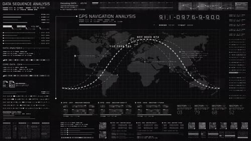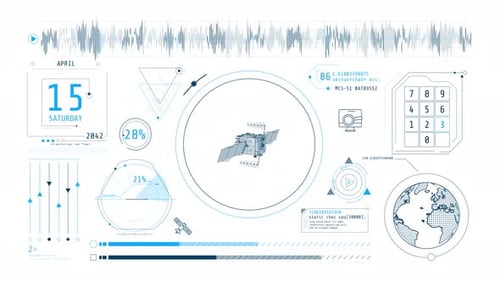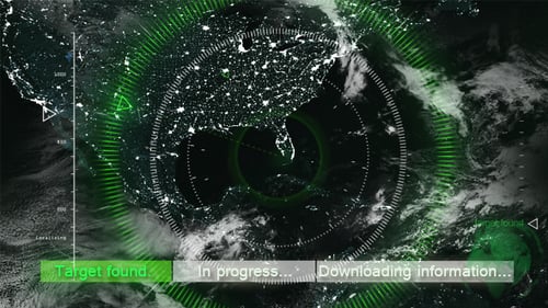
Global Map Satellite Tracking and Localization UI Display
By studio_21One great value subscription from €14.50/month
- Unlimited downloads of 27+ million creative assets
- AI Tools: video, image and more
- Lifetime commercial license
- Easy cancellation
Already have an account? Sign in
Attributes
- Length
- 0:58
- Resolution
- 1920 x 1080
- File Size
- 251 MB
- Frame Rate
- 29.97 fps
- Alpha Channel
- Yes
- Looped
- No
- Video Encoding
- Photo PNG + Alpha
- Orientation
- Horizontal
- Commercial License
- Further Information
Description
This animated clip presents a dynamic digital world map overlayed with an advanced user interface. The motion graphic features a night-time view of the Earth, highlighting illuminated cities as glowing points across continents, particularly focusing on North America. A sophisticated radar-like scanner with concentric circles actively searches and tracks, displaying real-time data indicators, progress bars, and textual updates for 'tracking target,' 'target not found,' and 'acquiring satellite reception.' The interface successfully localizes a target, indicated by pulsating green rings and text confirming 'target localized' and 'The place has been found.' This high-tech visual is ideal for projects requiring a sense of global surveillance, data analysis, geographic tracking, or futuristic technology displays in corporate videos, news segments, or science fiction productions.